

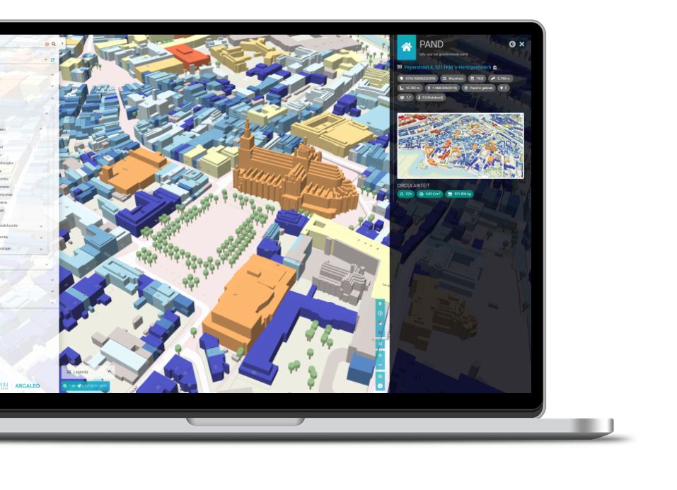
Argaleo's Digitwin is an advanced digital twin platform that creates dynamic, real-time 3D models of urban environments. By integrating various data sources, including geographic information systems (GIS), sensor data, and user-generated input, Digitwin offers an interactive, virtual representation of cityscapes. This innovative tool allows municipalities, urban planners, and transportation agencies to visualize and analyze complex urban infrastructures with unprecedented clarity. One of the key applications of Digitwin is improving accessibility for cyclists. The platform can simulate and assess the current state of bicycle infrastructure, such as bike lanes, signage, and traffic conditions. By identifying gaps or inefficiencies, Digitwin enables planners to design more bike-friendly routes, optimize traffic flow for cyclists, and predict the impact of new cycling projects before implementation. Furthermore, real-time data can inform cyclists of the safest and most efficient routes, taking into account traffic density, road conditions, and environmental factors. Digitwin is used by the province of Zuid-Holland to improve the cycling accessibility. Ultimately, Argaleo's Digitwin empowers cities to create more accessible, sustainable, and safer cycling environments, fostering a more bike-friendly urban landscape.
Categories
Contact info
info@argaleo.com
Geographical aspects
The Netherlands
Province of Zuid-Holland