CategoriesMultimodal cycling, Encouraging cycling, Data processing, Data analysis, Phase, Best practices, Target market
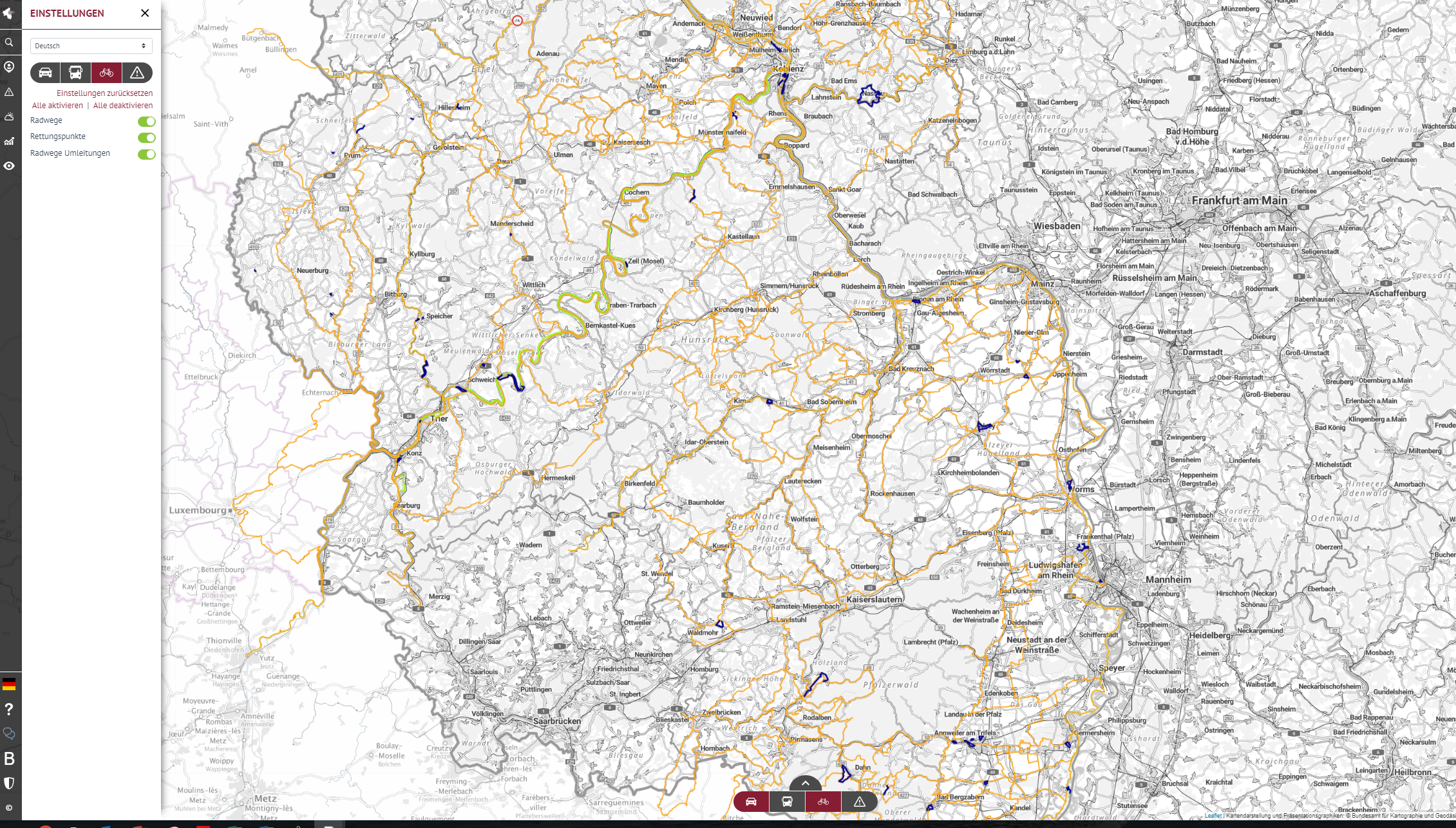
Deutschland
Rheinland-Pfalz
Planned
reiner.doelger@mwvlw.rlp.de
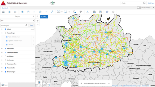
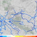
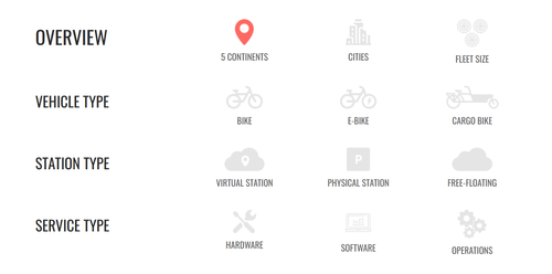
The categories above can be used to filter cycling-specific ITS products or services. Numerous categories can be selected to help further refine the selection of products or services available. 'Best Practices' (such as 'Implemented Projects' or 'Academic Research') are highlighted in blue and can be selected specifically above under this category.